
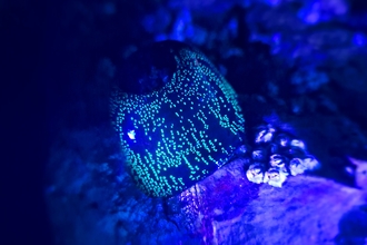
Sunstar in hands - Kiff Hancock
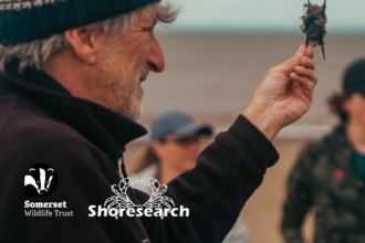
Shoresearch
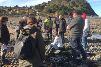
Shoresearch is The Wildlife Trusts' national citizen science survey of the intertidal shore, the exciting world of extremes where the sea meets the land.
What is Shoresearch?
Shoresearch is The Wildlife Trusts' national citizen science survey of the intertidal shore, the exciting world of extremes where the sea meets the land. It's a great way to explore your local coast, learn more about the wildlife found there and add to our understanding of this important habitat.
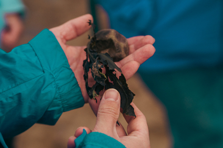
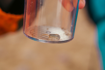
Volunteers are trained to identify and record the wildlife on shores across the UK. The data collected by this project helps experts to monitor our fragile sea life and better understand the effects of pollution, climate change and invasive alien species. Shoresearch data has been key to designating many of our Marine Conservation Zones.
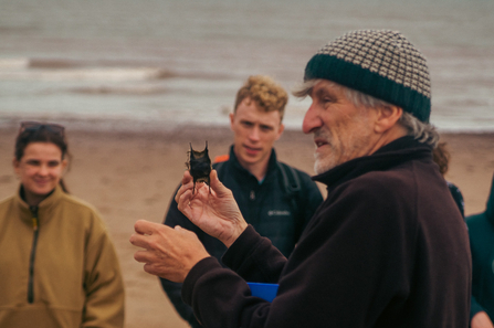
Photo: Jon Barrett
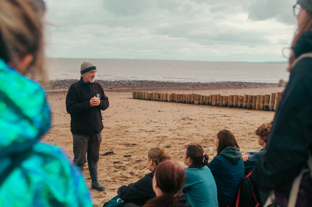
Photo: Jon Barrett

Shoresearch - Jon Barratt
Shoresearch - Jon Barrett
Shoresearch Training and ID Videos
Here are some training videos by the Wilder Coast team, to help you get started with some identification of intertidal species and to explain more about the methods we will be using. These videos are great for getting you ready for Shoresearch or refreshing your memory.
Secret Life of Anemones
Fish of Bristol Channel
Limpets - Rock stars of the rocky shores
Using apps on the seashore
Explore the shore!
Rocky Shore Ecology
Surveying
With standardised survey techniques used by Shoresearch volunteers across the country, we will be learning more about the wildlife on our shores than ever before. There are four types of survey involved:
Quadrat Biodiversity Survey
The Quadrat Biodiversity Survey is for shores of hard substrate (rocky, pebbles/shingle, bedrock) and involves collecting species abundance and habitat data at random points, in a selected area of the intertidal zone, using a quadrat.
Box Corer Biodiversity Survey
The Box Corer Biodiversity Survey is for intertidal sediment shores (sand, mud, silt) and involves collecting species abundance and habitat data at random points, in a selected area of the intertidal zone, using a corer.
Timed Species Search
During this survey a select list of species are searched for across an area of shore within a fixed time period to assist with the monitoring of their distribution around the UK.
Walkover Survey
The Walkover Survey is for shores of hard substrate (rocky, pebbles/shingle, bedrock) and involves collecting qualitative information on species found within a selected area of the intertidal zone.
Report
Over 2022/2023, the Somerset Shoresearch team was joined by Arthur Blackwood, a Wildlife Ecology and Conservation Science undergraduate from the University of West of England (UWE), undertaking a placement with Somerset Wildlife Trust. Arthur has written a report using the data from the surveys, presenting detailed information and analysis of the species found in the Somerset Intertidal Zone.
Get involved
Surveying the Somerset seashore
Intertidal Shoresearch survey training and taster day
Shoresearch March 2025 Survey (3) - Gore Point
National citizen science survey of intertidal habitats.
Night-time Sea Shore Safari
A nocturnal hunt for rocky shore creatures.
-
Shoresearch March 2025 Survey (2) - Glenthorne (County Gate)
Strenuous coastal walk including a national citizen science survey of intertidal habitats.
- Fully booked

Exploring Plankton
Join our Shoresearch volunteers to find out more about the amazing microscopic world of plankton that lives just off our coast.
-
ShoreSearch March Survey(1) 2025- Lilstock Beach
National citizen science survey of intertidal habitats.


